
Interestingly enough, areas in Mississippi, Alabama, and Georgia will do even better (in terms of greater accumulations) than we will in Middle Tennessee. The greatest amounts for the Volunteer State will be to our south in a line from Columbia, Lawrenceburg, Winchester, to McMinnville where totals by Monday morning could well be in the 3-6" range.
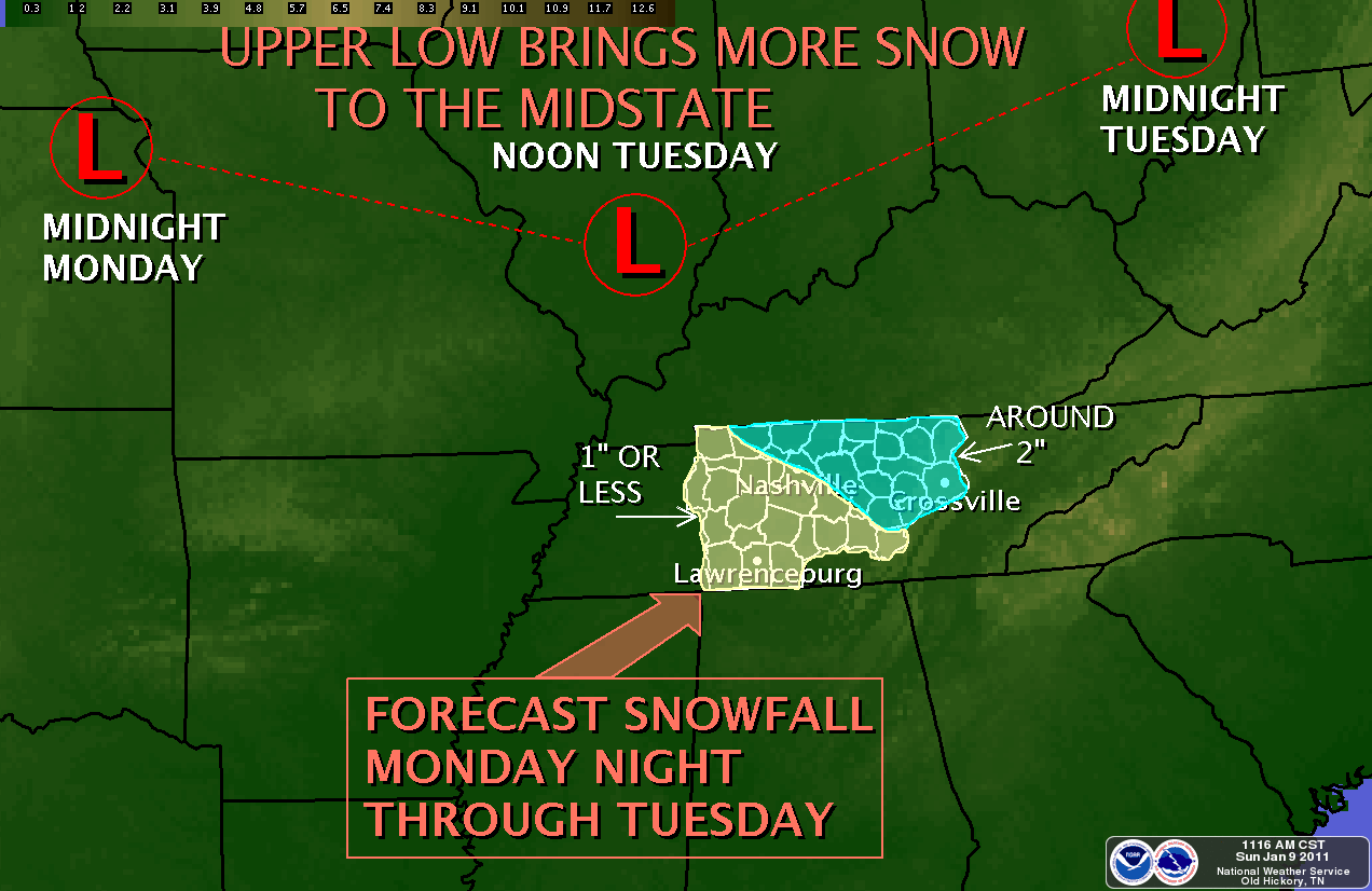
For the Cookeville area, check out the following graphics to see where we'll land. As always, the latest, local forecast is at the bottom of the post. By the way, each of these graphics can be clicked on to enlarge.


*Latest Local Forecast*
--------------------------------------------------
Join me on: Facebook Twitter LinkedIn Examiner.com Nashville Weather CookevilleTimes Weather My Google Profile
No comments:
Post a Comment