
Are you ready for some rain and cooler temperatures? Are your yards, gardens, and farms dry as dirt? I can tell you that relief is coming!
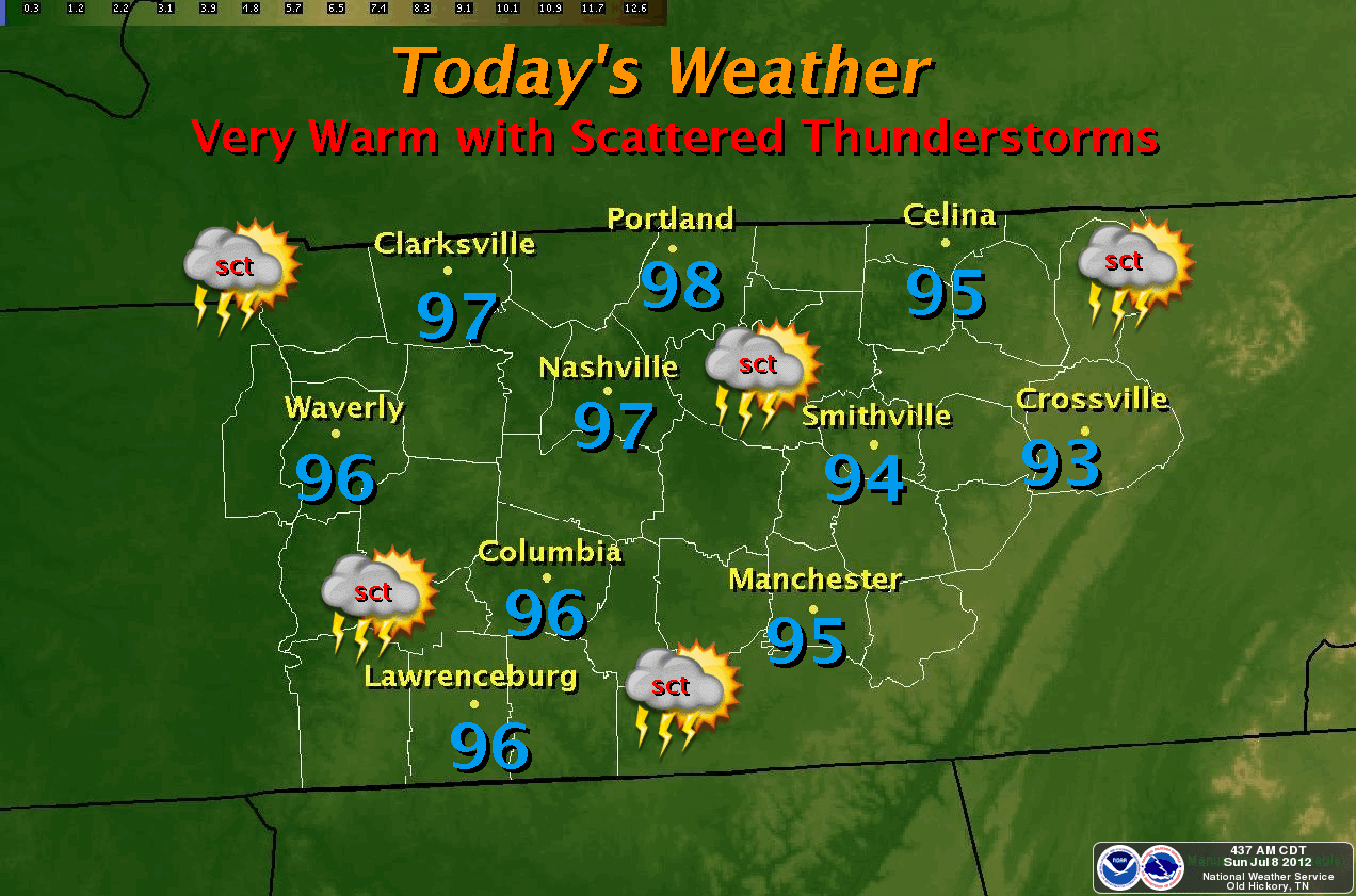
You'll have to bear one more day of oppressive heat as I expect our highs to reach 96-97° range this afternoon. We will NOT break the record high for today (101° from 1988).
Rain chances are increased (at 40%) and will stay that way through Wednesday. The QPF weather forecasting model says we may see up to 2+ inches of rainfall between Sunday night and Monday night. See map below. Click to see a larger map.

Highs on Monday and Tuesday will struggle into the mid 80's with a great chance for thunderstorms as a cold front dives southward. This will keep a good shot at storms in our forecast for at least 48 hours.
Temperatures will return to more normal like highs (upper 80's) after frontal passage. We'll keep a slight chance of showers in the forecast for late week.
*Latest Local Forecast*
Cookeville's Daily Almanac
July 8, 2012
Yesterday's high: 100.3° (another record high broken from 1930)
*The 7th record high this summer*
This morning's low: 77.1°
Normal: 87/65
Records: 101° in 1988 and 53° in 1918
Last year: 84/69
Rainfall
0.32 at my station (first rainfall in 3 weeks since June 16th)
July total: 0.32
2012 total: 22.26" - (about 12" behind for 2012)
2.03" of rain fell on this date in 1916
Interact with me on social media:
Weather Guy on Facebook
Weather Guy on Twitter
Cookeville Weather Alerts on Twitter
No comments:
Post a Comment