
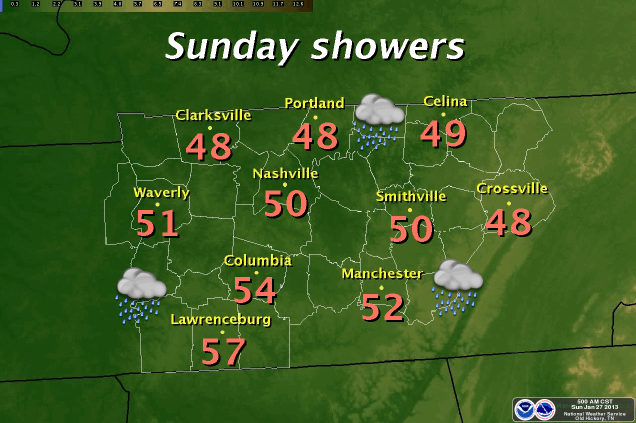
We'll see clouds increase with a 30% chance of rainfall after lunch today. The high will be around 50°, which is about 7 degrees warmer than Saturday's high of 43°. Today's high is tweaked them down a few degrees from yesterday's post. Slight rainfall chances continue this evening with lows by Monday morning of around 41°. We'll be about 10° warmer on Monday afternoon with a high near 60°.
WARMEST DAY IS TUESDAY:
Highs on Tuesday will be 65° under a mostly cloudy sky with thunderstorm chances ramping up to 70% with thunderstorm chances continuing on Wednesday early switching over to showers as the day goes on with highs in the 50's. By Wednesday night we will have a chance (albeit, slight) for the possibility of the rain changing over to snow. We are still several days away so we will watch that and report back as the days get closer.
SHARPLY COLDER AIR THURSDAY AND FRIDAY:
Starting Thursday through the weekend, temperatures will be MUCH colder with highs only in the upper 30's on Thursday. Another blast of cold air for Thursday night and Friday where highs will only be in the low 30's and slightly warmer on Saturday with highs in the low 40's.
*Latest Local Forecast*
Interact with me on social media:
Michael Detwiler on Facebook
CookevilleWeatherGuy on Facebook
Weather Guy on Twitter
Cookeville Weather Alerts on Twitter
Cookeville Weather Guy on Google +
No comments:
Post a Comment